The Sutter Buttes Are The Smallest Mountain Range In The World!
The Sutter Buttes are the southernmost cluster of inactive volcanoes positioned in the heart of what was the territory of the Maidu Indians. Their name for the buttes was Histum Yani… and the rough translation means the “Middle Mountains”.
UPDATE (May 1, 2020): This park is temporarily closed to vehicular access, meaning there are no parking facilities and parking on roadways is prohibited to protect public health from the COVID-19 pandemic. Although this park is open to local residents, they must abide by the following guidelines:
- Stay Local: Walk or bike into the park. Do not drive to the park.
- Stay Active: Keep walking, jogging, hiking and biking. Watch for one-way trails.
- Stay Safer at 6 Feet: Maintain a physical distance of 6 feet or more. Gatherings, picnics and parties are not allowed. Visitors are being asked to leave if there are too many people at the park or on trails to allow for the required physical distance.
- Stay Clean: Be prepared. Bring soap/sanitizer and pack out all trash.
Statewide, many parks and beaches are temporarily closed or have very limited access to ensure Californians are abiding and practicing physical distancing. The goals are to make sure people are safe and to mitigate the spread of COVID-19 as much as possible. To view the list of closures and what they mean to the public, please visit

Today, we understand that the Sutter Buttes are located in the Sacramento Valley approximately 50 miles north of the city of Sacramento. The buttes cover an area ten miles long and ten miles wide just to the east of the small town of Colusa, and they can be seen for over 100 miles over the valley floor.

Custom Search
It could be said that the buttes are a good place to begin to get away from the hustle & bustle of the major metropolitan areas of California.
They are, in fact, considered to be the “smallest mountain range in the world”. They qualify for this distinction for the following reason: In the field of topography, a ‘mountain’ must be at least 2,000 feet tall. The Sutter Buttes squeak by at 2,060 feet above sea level.
The Sutter Buttes Offer A Unique California
Hiking Opportunity
The buttes have been added to the California State Park System and are going through the process of determining land use.
Until these issues are resolved, the buttes are privately held and can only be hiked with permission. However, the Middle Mountain Interpretive Hikes (MMIH) is a non-profit organization formed with the purpose of educating the general public in the importance of the natural and cultural resources and to encourage preservation, understanding, and good stewardship of these resources.
The MMIH has a large selection of hikes with a variety of hike difficulty ratings ... they even have FULL MOON OR MOONLIGHT STROLL... you may want to bring a flashlight and something soft to sit on.
It should be noted that no hiking or backpacking opportunities are available during the summer season due to extreme fire hazard.
The Middle Mountain Interpretive Hikes posts their fall hiking schedule in October and their spring hiking schedule in February.
You Will Need A Place To Park Your Class C Motorhome
Just on the northern outskirts of Colusa along the Sacramento River is the Colusa-Sacarmento River State Recreation Area. There is camping here... although, motorhomes have to be smaller than 27 feet and trailers must be under 24 feet. The park is near downtown Colusa, nine miles east of I-5 on Highway 20, north of Sacramento. The telephone number is (530) 458-4927.

Colusa-Sacramento River State Recreation Area
Latitude: 39.21766 Longitude: -122.01528
There is great fishing at this site along the Sacramento River. In fact, it is one of the best stretches of river fishing in California. Depending on the time of year, you can catch king salmon, steelhead, rainbow trout, and striped bass. This California park also has WI-FI available.
Another RV Park that is close to the Buttes is Lovey's Landing. Lovey's is also right on the Sacramento River. The Address is 3474 N. Meridian Road, Meridian, CA 95957 and the telephone number is (530) 696-2449.
Lovey's has 30+ tree-shaded RV sites with full 20/30 amp service. This is a full service RV park with flush toilets, laundry, propane, RV dump, etc. They have good gravel roads, and pull throughs are available.
Leave The Sutter Buttes Are The Smallest Mountain Range In The World! And Return To California Camping Oportunities Are As Diverse As Its People
Leave The Sutter Buttes Are The Smallest Mountain Range In The World! And Return To The Class C Motorhome: How To Achieve The Maximum RV Lifestyle!
YOUR STORIES
1995 Tioga Montara
Had a Leak - Ouch!
A Simple Way To Put An Electrical Thermostat On A Small Space Heater
In A Truck Camper!
A Great Destinaton, With An Unexpected Outcome!
Test Link
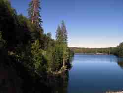
Below: For An Alternative Destination... A Four Mile Hike Around Sugar Pine Reservoir

A Good Place To Begin The Joshua M. Hardt Memorial Trail Is At The Dam. This 3.5 Mile Trail Is Good For Foot Traffic And Bicycles... No Motorized stuff

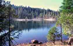
The Manzanita Day Use Area Is A Good Place To Sit And Watch The Wind
Play With The Water!

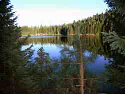
Another View From The Joshua M. Hardt Memorial Trail... Morning and Evening Are The Best Times To Hike This Trail. The Still Reflections Will Capture Your Attention

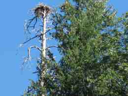
You May Want To Bring A Camera... There Are Large Birds Of Prey High In The Ski


